November · 31°/21° · City · Preview
Dubai
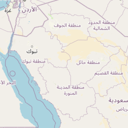
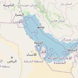
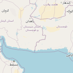
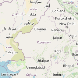
Where it is
Plan Dubai
When?
Why Aura
Start at the Creek, plan around the heat.
Dubai began on the Creek, and the old quarters there are still where the city feels most its own. Aura puts outdoor time in the mornings and evenings, keeps the hot hours indoors, and treats November to March as the season for walking.
Aura editorial picks
Highlights
Eat and drink
Night
Photo spots
Local gems
Also worth your time
If it rains
Rain-day plan
Around November
Happening this season
Festival of Lights (Diwali) in Dubai
Across the city (programme on Visit Dubai) · Cultural performances, fireworks and festive shopping for Diwali, a big celebration for Dubai's South Asian communities.
2–12 November 2026 Source ↗Dubai Fitness Challenge
Citywide · A month of community sport as the heat breaks: 30 minutes of activity a day, with mass events like Dubai Ride and Dubai Run.
31 October – 29 November 2026 (Dubai Ride 1 Nov, Dubai Run 22 Nov, Dubai Yoga 29 Nov) Source ↗Areas
Area 1 · 9 places
Al Fahidi, the Creek and Deira
Wind towers, abras, the souks.
- Al Fahidi Historical NeighbourhoodBur Dubai
- Abra crossing, Bur Dubai – Deira Old SoukDubai Creek
- Deira Gold SoukDeira
All places in Al Fahidi, the Creek and Deira (9)
- Al Fahidi Historical NeighbourhoodBur Dubai · Neighbourhood
- Al Shindagha MuseumAl Shindagha · Museum
- Coffee MuseumAl Fahidi · Museum
- Deira Gold SoukDeira · Market
- Spice SoukDeira · Market
- Abra crossing, Bur Dubai – Deira Old SoukDubai Creek · Getting around
- Al SeefAl Seef, Bur Dubai · Photo spot
- Jameel Arts CentreAl Jaddaf Waterfront · Museum
- Al Ustad Special KababBur Dubai · Restaurant
On the map
Positions from OpenStreetMapSeason and weather
Open-Meteo archive (ERA5 reanalysis), average 2016–2025 · CC BY 4.0. Averages, not a forecast.
Sources
Picks, reasons and tags are Aura editorial. Places and positions from OpenStreetMap; climate from Open-Meteo (ERA5). Opening hours are checked for your dates when you plan.
Sources and credits for Dubai
Data
- OpenStreetMap (Overpass API) · ODbL 1.0 · © OpenStreetMap contributors
- Wikidata Q612 · CC0
- Open-Meteo archive (ERA5 reanalysis), average 2016–2025 · CC BY 4.0 · Weather data by Open-Meteo.com
- Wikidata (per-place labels, P856 website, P373, P18 reference) · CC0
Photographs
Loading the photo credits…